
A Boundary Survey locates and establishes the lines and corners of a parcel of land as legally described in a deed or document of record.
This survey involves field and office work, locating or setting boundary corners, and preparing a plat of survey document showing all improvements as well as the relationship of possession lines (occupied lines) to record or title lines.
Types of Boundary Surveys
Boundary Surveys can be divided into two basic categories:
- Original Survey, which establishes boundary lines within an original division of a tract of land that has therefore existed as one parcel and describes boundary lines of a parcel or tract of land for the first time. An original survey creates new boundary lines.
- Retracement Survey, which tracks the footsteps, or “follows in the footsteps,” of an original survey in locating boundary lines established by the original survey.
Most Boundary Surveys today are retracement surveys.
We perform the following steps in the preparation of our Boundary Surveys:
- Research ׀ After a client furnishes a legal description of the property, we extensively research public and private survey records, including deeds of the subject parcel and, if needed, adjoiners, recorded subdivisions and any roadway dedication documents affecting the land boundary.
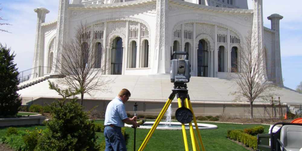
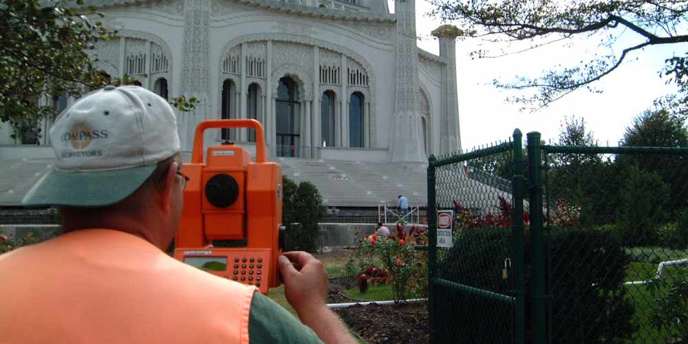
- Field Work ׀ Under the direct supervision of a professional land surveyor, our experienced field technicians perform a diligent search for property corners for the subject land parcel as well as adjoining properties. They locate and measure all monumentation and boundary evidence such as fences and improvements.
- Boundary Resolution ׀ Our expert land surveyors sort through all measurements, weigh all evidence and develop a defensible opinion as to the location of the boundary lines. They apply boundary law principles to arrive at the location that represents the land boundary as established by the original surveyor.
- Set Property Corners ׀ Under the direction of a professional land surveyor, our field technicians return to the site to set missing property corners and mark existing ones. Fences and improvements near these locations are located and measured.
- Prepare Boundary Survey Plat ׀ Led by our land surveying experts, our experienced CAD technicians produce a detailed plat of survey showing the record and measured land boundary, off-site neighboring improvements within 5 feet of property boundary lines, and all site improvements. The plat of survey is prepared and certified in accordance with the Illinois Boundary Survey Standards.
How Is a Boundary Survey Fee Calculated?
Boundary Survey fees are determined by the following factors:
- Property size
- Complexity of the legal description
- Location
- Site conditions
- Weather conditions
- Expedited time frames
- Missing property corners due to construction
We can provide you with a lump-sum fee or “not to exceed” budget for your project.
How to Order a Boundary Survey
The following information is needed to order a Boundary Survey:
- Address
- Legal description of property
- PIN (optional)
- Billing entity
To further discuss the land survey service your project needs, contact us at (630) 820-9100 today to speak with a Compass professional.